
Here is one way to get a broader overview of a new garden plan. Get a bird’s eye view of your property! Look up your property on Google Earth and print off map.
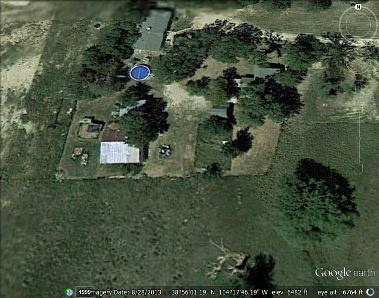
From here I can see where the trees are, the shady areas, the barren areas, the possibilities. I can see that the space by the garden is shady in the summer so I need to plant things in that area that can handle partial shade. The spot that I considered for the hoop house is partially shaded too. Not to mention that the lawn chairs in that area are constantly blowing away. I can see where new fruit trees would work and where a pond could thrive.
In planning a new garden it is important to analyze and observe the space diligently.
Wind- We can sure get our fair share of wind out here. But because I placed different reading and eating areas all over I can better see where the wind goes. Beside the house, under the elm trees, is protected. The cushions on the chairs haven’t even budged. This is where we will erect a canopy and build an outdoor, off grid kitchen this year.
Sunlight- The porches are very sunny right now. They will make great spaces to grow food in pots and five gallon buckets. When the trees are in their full foliage I should be prepared to move them around to get maximum sun or grow cold crops so that by the time the leaves are out the plants won’t require so much sun.
Space- I can see on the map where the trees expand in the summer and can lead me to plant trees a little further out.
There are many benefits of downloading and printing the overhead view of your land. You can see where best to fit a chicken coop, where to put a windbreak, or where to put a pond. Or where to put a hammock!
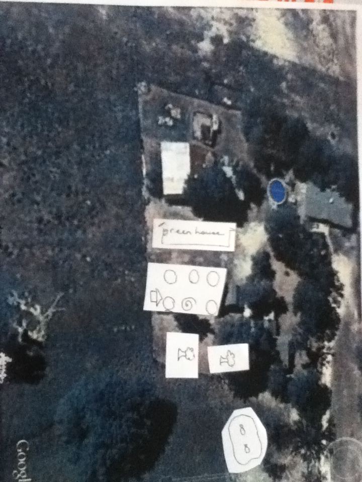
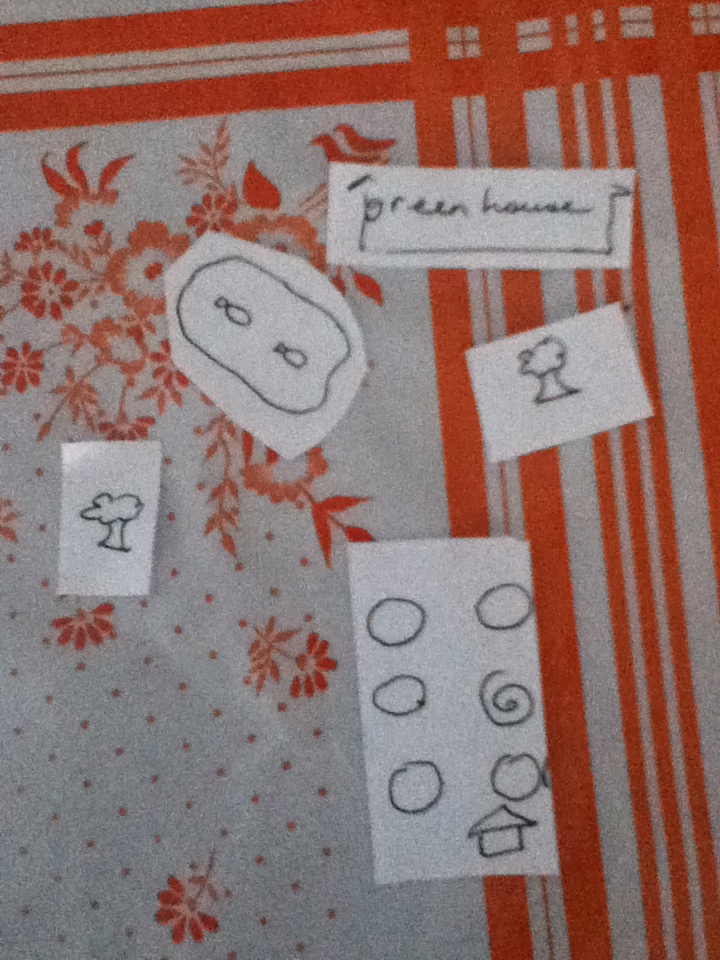
You can use little pictures like these and move them around before drawing in the final idea. Just one more way to plan a new garden or implement a new idea!
